
Blog
Soil Health Monitoring at Scale: What's Possible with Satellite + AI
Explore how satellite imagery and AI support soil health monitoring at scale, complement soil testing, and inform regenerative agriculture and sustainability programs.
Perspectives on intelligence, technology and the physical world.
198 resources · Page 1 of 22
Blog
Explore how satellite imagery and AI support soil health monitoring at scale, complement soil testing, and inform regenerative agriculture and sustainability programs.
Blog
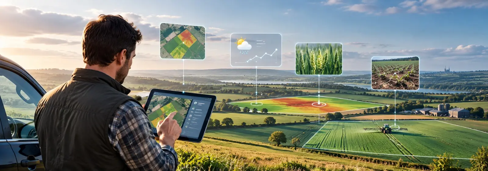
AI farm advisory software for UK farms turns field, weather and satellite data into same-day decisions. See how real-time crop monitoring works.
Blog
Explore potato yield forecasting in India for 2026–27, with acreage, crop monitoring, weather risks and yield intelligence for better supply planning.
Blog
Assess drought exposure field by field to prioritize grower follow-up, anticipate crop stress, and strengthen food supply planning.
Blog
How satellite-verified land, crop, and yield data close the data gap in US farm lending, replacing self-declared acreage and static collateral valuation.
Blog
Why generic weather bulletins and periodic advisory visits leave UK crops exposed, and how AI-driven, plot-level advisory delivers same-day action.
Blog
Explore how AI-powered wheat and grain procurement intelligence supports supply visibility, yield forecasting, sourcing, and harvest planning.
Blog
Discover how AI, satellite intelligence and predictive analytics improve sugarcane yield forecasting, harvest planning and supply chain decisions.
Blog
India's Kharif 2026 sowing gap narrowed from 20.8% to 2.9% in July but El Niño threatens pulses, reservoirs & the rabi season ahead