Food & Agriculture
Field operations, grower engagement, sourcing, traceability, compliance, and supply-chain execution.
Cropin Cloud capability
Cropin Apps digitizes field operations, connects growers and suppliers, and standardizes how work gets done across food and agriculture supply chains.
Beyond Food-Ag
Food-Ag remains Cropin’s production-proven foundation. The same configurable architecture can connect physical assets, geospatial and climate signals, domain intelligence, AI agents, and human decision rights across forests, water, energy, and infrastructure.
Five domains
Each deployment starts with the asset, the operating decision, and the evidence required. Domain-specific data and models change; the workflow architecture remains reusable.
Field operations, grower engagement, sourcing, traceability, compliance, and supply-chain execution.
Deforestation monitoring, landscape verification, fire-risk review, and intervention workflows.
Basin and asset monitoring, scarcity signals, risk review, allocation, and response workflows.
Vegetation risk, inspection prioritization, renewable-site context, and field-response workflows.
Corridor monitoring, flood and erosion exposure, inspection, and work-order prioritization.
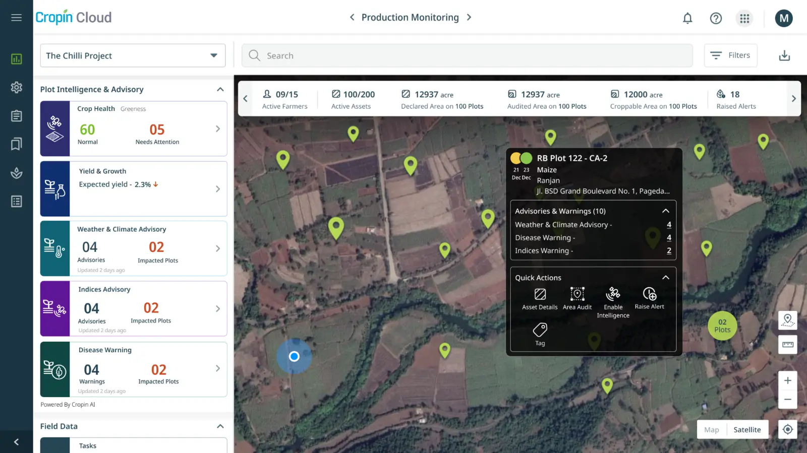
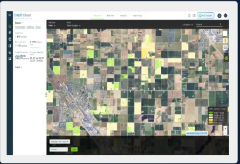
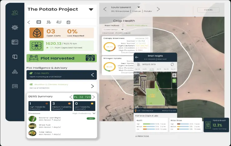
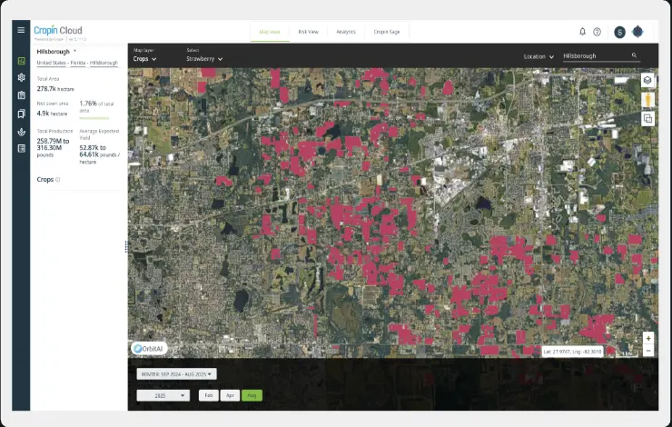
Monitor growers, assets, acreage, crop health, advisories, and open alerts from one live operating map.
Cropin Apps is the application and workflow layer of Cropin Cloud: proven in Food-Ag and configurable for teams responsible for forests, water, energy, infrastructure, and other physical assets.
Food-Ag provides the production foundation, with 40,000+ workflows enabled across 103 countries, 500+ crops, and 10,000+ varieties.
The same application pattern can be configured around a different asset, domain model, operating hierarchy, risk signal, and field decision.
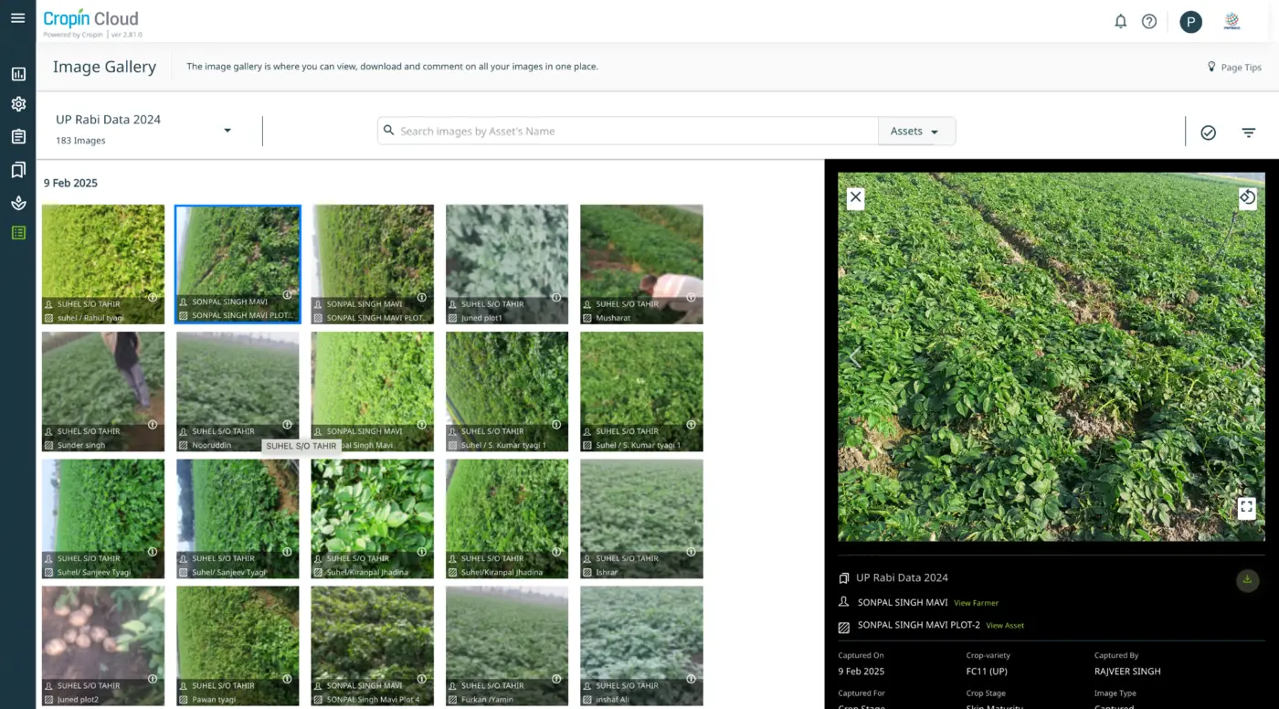
Embed image capture in tasks, forms, and audits. Metadata makes each image ready for computer vision, alerts, and operational review.
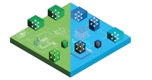
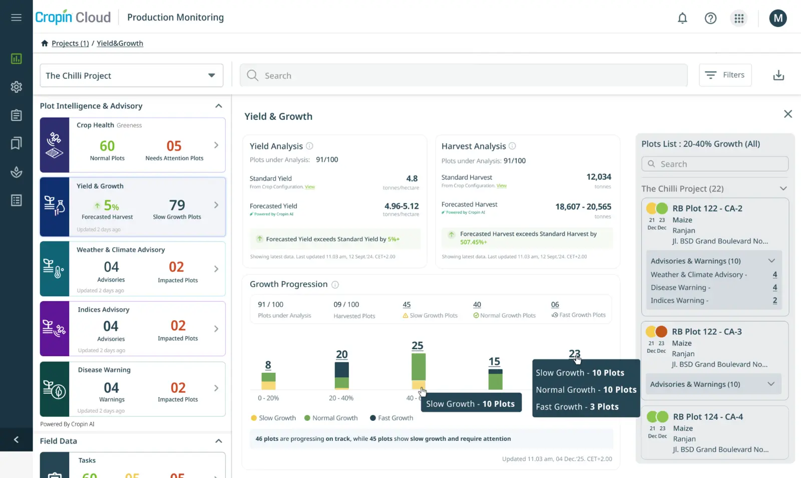
Start with standard global models where historical data is limited, then tune models by crop variety, location, and verified ground data.
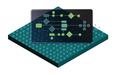
Build workflows around the crop, variety, location, soil type, irrigation system, operating hierarchy, and local practice.
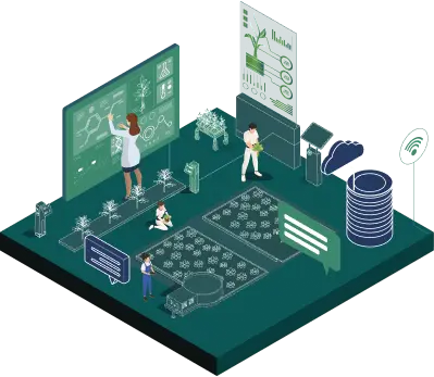
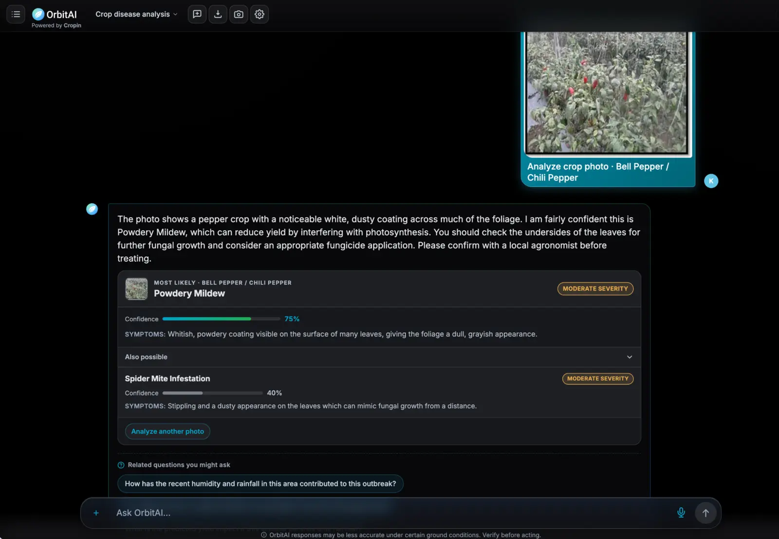
Let growers, agronomists, field teams, and management interact with an Orbit AI agent through chat or voice, then deliver workflow updates through the channels already used across distributed operations.
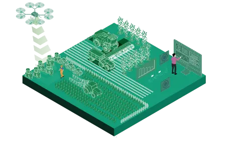
Standardize and connect applications, IoT, machines, weather, satellite pipelines, domain models, and customer data in one interoperable foundation.
Computed across Cropin’s intelligence footprint.
Enabled through configurable data-collection and agronomy workflows.
Supported across diverse production systems and geographies.
Represented across location-, variety-, and practice-specific workflows.
Food-Ag, forests, water, energy, and infrastructure differ in domain detail, but their operating teams face the same structural problem: fragmented signals must become timely, accountable action.
Observations live across paper, spreadsheets, disconnected applications, sensors, imagery, and specialist systems, leaving teams without a consistent operating picture.
Weather, water stress, fire, flood, erosion, pests, disease, and land-use change can disrupt production, assets, communities, and supply continuity.
Insights lose value when alerts cannot be routed to the right person, converted into a task, escalated, and closed with evidence.
Enterprises need defensible records of origin, condition, intervention, and outcome across suppliers, plots, sites, corridors, and regions.
Generic software rarely reflects local languages, operating hierarchies, asset types, domain rules, or the way work actually happens on the ground.
Cropin Apps turns a physical-world use case into a connected workflow, from observation and intelligence to decision, action, and verification.
Geotag farms and assets, configure mobile forms, capture images and field observations, and work across distributed teams and locations.
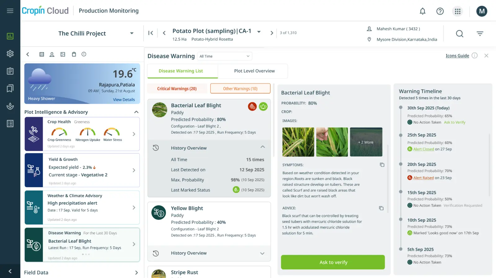
Bring domain models, satellite imagery, weather, IoT, machine data, and enterprise data into the workflow to surface the signals that matter.
Apply thresholds and business rules, issue alerts and advisories, assign work, and preserve human review for consequential decisions.
Guide field teams through inspections, agronomy, audits, remediation, maintenance, and follow-up, then close the loop with timestamped evidence.
Use in-app notifications, reports, alerts, SMS, WhatsApp, and multilingual experiences to connect operators, growers, suppliers, specialists, and management.
A shared data and application foundation helps enterprises standardize execution without forcing every sector, geography, or team into the same process.
Model companies, business units, users, territories, farms, sites, assets, crops, varieties, and operating hierarchies with role-based access.
Standardize and harmonize data from enterprise applications, field tools, IoT and machines, weather services, satellite pipelines, domain models, and custom sources.
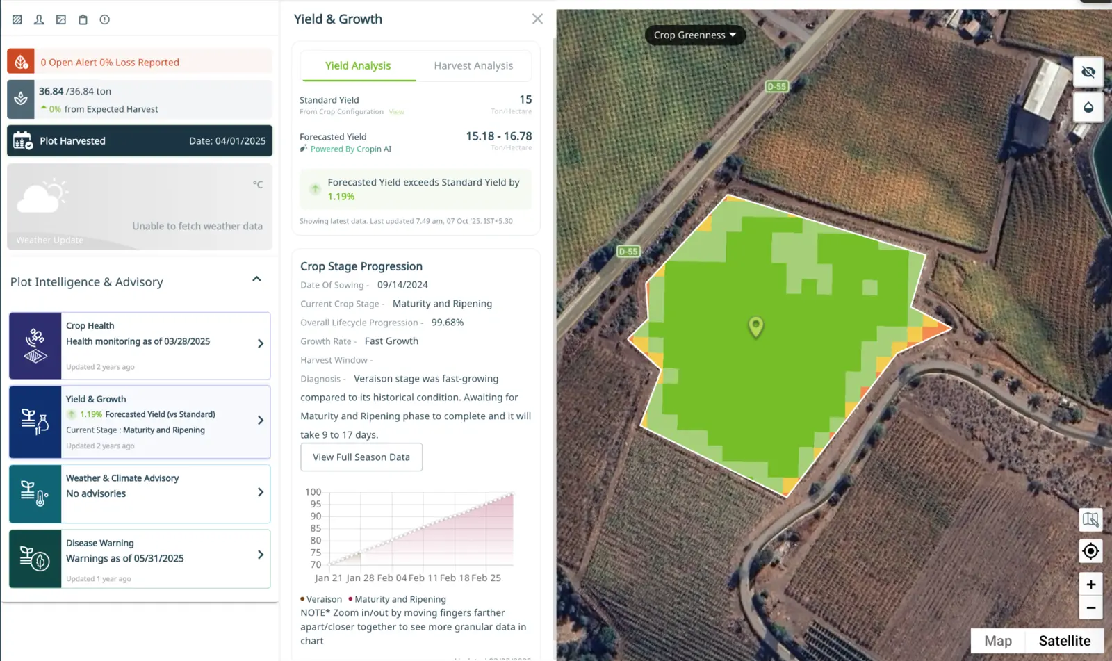
Organize field images and observations with metadata, geolocation, context, and time so they are ready for audit, AI analysis, and summarization.
Adapt forms, tasks, audits, alerts, advisories, approvals, and reports to a sector, asset class, region, risk, or customer requirement.
Connect insight and execution to existing systems so Cropin Apps becomes the operational layer around the enterprise technology landscape.
More than 15 years of agricultural domain experience grounds the platform in real operational complexity, while the configurable architecture supports adjacent physical-world workflows.
Data, models, alerts, field work, stakeholder communication, and evidence are connected instead of handed off across separate tools.
Teams can adapt workflows to local assets and practices while maintaining enterprise standards, permissions, auditability, and reporting.
Mobile, multilingual, hierarchy-aware experiences connect frontline teams, domain experts, suppliers, partners, and management.
Integrations bring applications, IoT, machines, imagery, weather, models, and custom enterprise data into a shared operating layer.
Geospatial context, visual records, tasks, approvals, and outcomes create a defensible trail from observation through intervention.
Transforming global operations for a seed industry leader in 32 different countries across the globe for 30 vegetable spices...
Read the story Case studyRainforest Alliance is using our AI-powered risk mitigation & crop protection solution to identify cacao plants, predict yields, and...
Read the story Case studyMyanmar’s largest agrochemical producer partnered with CropIn to collect data from product demonstrations & leverage it to manufacture products...
Read the storyTRUSTED ACROSS GLOBAL FOOD & AGRICULTURE
CUSTOMER IMPACT


Cropin Apps is the configurable application and workflow layer of Cropin Cloud. It turns field observations, enterprise data, geospatial signals, domain intelligence, and business rules into governed workflows for distributed physical-world operations.
No. Food-Ag is the platform’s deepest and most proven domain, spanning farm operations, grower engagement, sourcing, traceability, agronomy, and compliance. The same application layer can be configured for forests, water, energy, infrastructure, and other sectors that manage real-world assets and environmental risk.
Teams can digitize farms and suppliers, configure agronomy and audit workflows, engage growers, collect field evidence, monitor crop health, coordinate alerts and advisories, improve sourcing visibility, and maintain farm-to-fork traceability.
Examples include forest and land-use monitoring, water-stress response, asset inspections, vegetation and climate-risk workflows, corridor monitoring, maintenance coordination, compliance evidence, and intervention tracking. The exact workflow is designed around the customer’s assets, signals, operating model, and governance requirements.
Cropin configures the data model, asset hierarchy, forms, tasks, rules, alerts, approvals, user roles, integrations, dashboards, and evidence requirements around the operating process. This preserves a common enterprise foundation while reflecting local domain and field realities.
The application layer can connect to enterprise systems, third-party applications, IoT and machine data, weather services, satellite imagery, domain models, visual evidence, and custom sources such as water bodies, roads, dams, and other infrastructure data.
Models and agents can surface risks, predictions, and recommended actions, while configurable rules, permissions, review steps, and approvals keep people accountable for consequential decisions. Each action can be tracked through completion with supporting evidence.
Yes. Cropin Apps supports configurable organizational hierarchies, location- and asset-specific workflows, multilingual engagement, notifications, and standardized reporting for distributed operations. Food-Ag workflows have been enabled across 103 countries, 500+ crops, and 10,000+ crop varieties.