Applications of LULC in Agriculture

|

Share this:

Creating a Global Dynamic Map of Cultivable Land: Harnessing LULC Applications in Agriculture

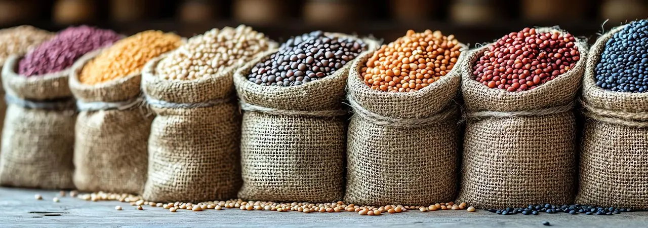
Arable land, vital for agriculture, feeds us all. While creating a mere 2.5 centimeters of topsoil necessitates 500 years of uninterrupted ecological processes, the alarming reality is that over the past four decades, one-third of arable land was lost to erosion and pollution.

The urgency of this situation is magnified exponentially with the increasing global demand for food. Analyzing land distribution becomes vital given the limited nature of this resource. Land use and land cover (LULC) classification utilizing remote sensing and geospatial data, is a powerful tool to visually categorize the Earth's surface. 

The significance of creating a dynamic LULC map lies in its ability to guide informed decisions aimed at:

  • Recycling: Utilizing unused land productively, 
  • Rejuvenating: Improving the health and fertility of degraded land 
  • Regenerating: Restoring the land for the future.

LULC maps empower us in combating indiscriminate land use practices, such as deforestation for agriculture, and promoting transparency and accountability in land management. Additionally, they play a pivotal role in identifying policies that incentivize responsible land utilization while imposing penalties for its misuse.

What is LULC?

LULC or Land Use Land Cover defines the physical and functional characteristics of the Earth's surface. Land use looks at modifications in the land arising out of human activities such as agriculture, urban development, or forestry. Land cover points to the physical surface itself, like vegetation, water bodies, or bare soil, and as such, reflects changes with alterations in these features.

Changes in land use and land cover even when occurring in a localized manner across numerous locations have a significant effect on the entire planet (like atmosphere, climate, and sea level). As humankind are the primary users of the land, we need to understand how the land cover has changed over time, predict the likely changes in the (near) future and the impact of these changes on the planet. 

Land Use Land Cover (LULC), a remote sensing-based machine learning model that classifies land, helps us here. It provides a visual representation of human activity and natural features across the Earth.

Why is LULC Important?

LULC maps are invaluable tools for numerous applications, such as:
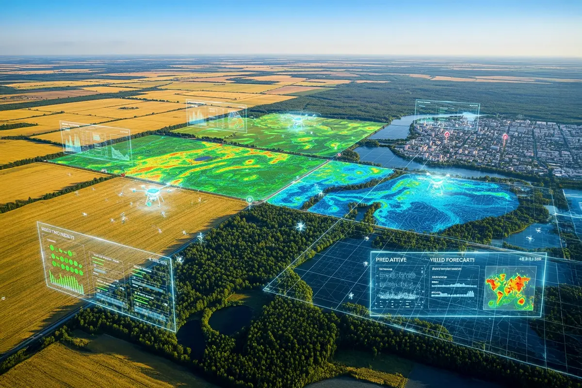
In Agriculture

  • Natural resource management: Optimizing water, agricultural, and forest resources for sustainable use.
  • Food security: Identifying optimal land for specific crops and potential agricultural expansion areas, and assessing the impact of climate change on agricultural productivity at regional and global levels.
  • Environmental protection: Tracking deforestation, soil erosion, urban sprawl, agricultural expansion’s impact on ecosystems & resources.
  • Baseline mapping for GIS input: LULC maps are the foundation for enabling informed decision-making across various fields using GIS analysis.

Some non-agricultural areas where LULC finds application are

  • Urban expansion/encroachment
  • Wildlife habitat protection
  • Routing and logistics planning
  • Disaster risk reduction
  • Legal boundaries for property and tax evaluation
  • Target detection
  • Understanding impact of climate change
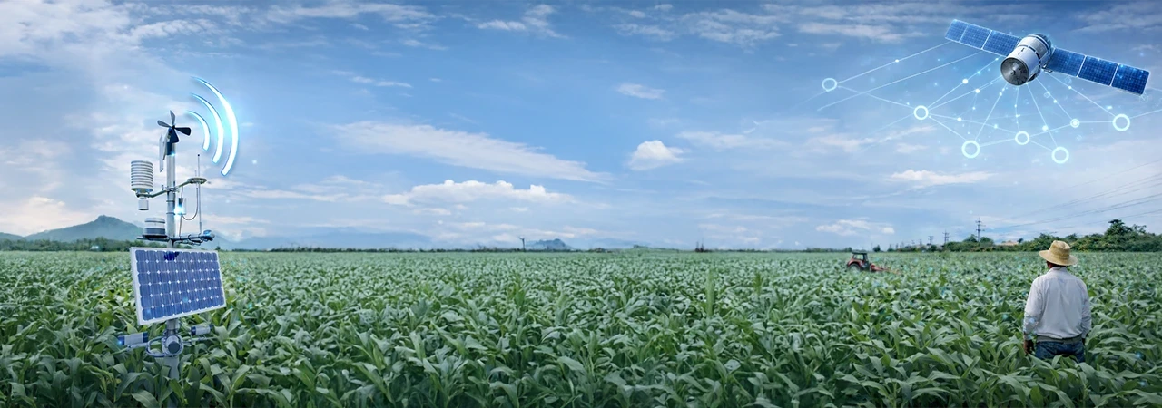
Unveiling the Land: Technologies behind LULC Maps

Creating these insightful LULC maps involves two key technologies:

  • Remote sensing: Remote Sensing data sources  like satellites are the most practical and cost-efficient and offer satellite images with spatial resolution (pixel size) varying from centimeter to kilometer. Satellite images of Earth's surface, provide useful data on land cover, built-up land, cultivated area, water bodies, etc. Choice of the ideal satellite image for land use and land cover (LULC) mapping is determined by what the user needs. Images with moderate resolution are required to map a large area like a whole region. And for detailed mapping, images with higher resolution for a closer look are necessary.
  • Geographic Information Systems (GIS): GIS is a powerful tool that integrates data from different sources, and timelines. The multi-temporal data and synoptic pictures provided by remote sensing are converted into meaningful LULC maps by GIS software. The tool lets users validate and edit data, and allows structure and geometric conversion to analyze and visualize spatial information. It also offers a user-friendly environment to manage, store, and retrieve spatial information.
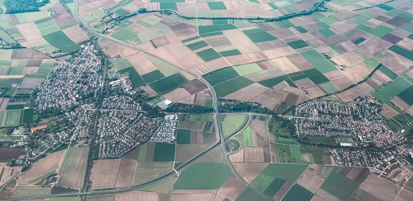
Understanding the Landscape: LULC Classifications

There are various popular global LULC classification systems - the United States Geological Survey (USGS) LULC system; Food and Agriculture Organization (FAO) Land Cover Classification System (LCCS) and the International Geosphere-Biosphere Program (IGBP) Global Land Cover Classification (GLC). In addition, there are national and regional systems, specialized systems, and customized systems. Ultimately, the best-suited LULC classification system depends on your specific goals, data availability, and regional context like scale, detail, purpose, and data compatibility.

All these diverse classification systems categorize land into various classes based on their characteristics. Here's a glimpse into some common classifications:

Natural Land Cover:

  • Forest: Dense tree cover with significant ecological functions.
  • Grassland: Open areas dominated by grasses, supporting grazing and biodiversity.
  • Wetlands: Areas with waterlogged soils, crucial for water storage and filtration.
  • Barren Land: Areas with sparse vegetation, often due to natural factors like rocky terrain or deserts.

Artificial Land Cover:

  • Urban: Areas dominated by buildings, transportation infrastructure, and other human-made structures.
  • Cropland: Land used for agricultural production, including fields, orchards, and vineyards.
  • Rangeland: Extensive areas for grazing livestock, often with scattered vegetation.

Water Bodies:

  • Oceans and Seas: Extensive saltwater bodies covering most of Earth's surface.
  • Lakes and Rivers: Inland freshwater bodies supporting various ecosystems and human uses.

LULC: A Guiding Light for Agriculture

Now, let's zoom in on agriculture, where LULC plays a transformative role.

Arable land is a limited resource, underscoring the importance of knowledge about its use and coverage. LULC data is vital in ensuring food security, promoting environmental sustainability, and responsible agricultural practices.

LULC empowers you with informed decision-making that aligns with your business goals while considering geographic expansion. 

The insights provided by LULC maps into current land usage, offers a comprehensive understanding of what covers the land and how it is utilized. Whether it's identifying fallow areas, monitoring agricultural encroachment into forested regions, or tracking the development of new features such as lakes or roads, these maps offer a detailed snapshot of the land's present state.

By integrating publicly available data on protected forests, stakeholders can ascertain the extent to which cultivation is encroaching on protected areas, facilitating informed decision-making while planning expansion into new regions.

Conducting LULC analysis is the essential first step in a broader process, enabling stakeholders to identify cultivated crops, estimate acreage, anticipate yields, and much more. It is the crucial preliminary step in obtaining accurate insights on arable land at the regional level. Further, LULC maps help match specific crop varieties best suited to soil types, temperature ranges, and moisture levels of a region.

LULC acts as a risk radar. It helps you identify flood-prone areas, safeguarding crops and infrastructure before they disrupt operations. You can predict soil erosion risks based on past land use and topography. LULC is the compass for trend mapping and understanding the impact of climate, urbanization, deforestation, afforestation, etc.

Benefits of Data-Driven Insights from LULC - The Land's Resume, Empowering Informed Expansion!

  • Go Green, Grow Strong: Protect your land and your reputation. LULC guides sustainable practices and minimizes environmental impact.
  • Mitigate deforestation: LULC maps are critical tools for detecting and quantifying deforestation, enabling timely interventions and conservation efforts.
  • Optimize Crop Selection: Find the perfect match! LULC data reveals ideal soil, water, and climate for optimal yield.
  • A Risk Management Masterclass: LULC identifies potential threats like flooding and erosion securing your operations.

Use of LULC Maps to Mitigate Deforestation

LULC maps are active tools to mitigate deforestation, empowering timely detection, precise quantification, and informed conservation efforts.

  • Early Detection, Swift Action: LULC maps, updated regularly using satellite imagery, reveal deforestation even in remote areas. Changes in forest cover become evident, allowing authorities to investigate potential illegal activities and enforce regulations before significant damage occurs.
  • Quantifying the Loss, Informing Solutions: By comparing historical and current LULC maps, we can measure the precise area of forest lost, providing valuable data for policymakers and conservationists. Identification of the rate and spatial patterns of deforestation helps to pinpoint hotspots. This data can be used to prioritize areas for protection or restoration.
  • Guiding Conservation Efforts: LULC maps help detect areas with high conservation value, such as old-growth forests or critical wildlife corridors. Using this information, effective conservation strategies can be designed, and the efficiency of resource allocation can be enhanced.
  • Beyond Detection: LULC maps reveal deforestation and offer insights into its underlying causes. LULC maps act as an investigative tool to detect hidden drivers behind deforestation, by analyzing land-use changes such as agricultural expansion, infrastructure development, or unsustainable logging practices, surrounding deforested regions. This deeper understanding enables targeted solutions to tackle the root causative factor, unlocking sustainable solutions for our vanishing forests.

In essence, LULC is the land's resume, providing data-driven insights that optimize crop selection, promote sustainable practices, improve the bottom line, and act as a masterclass for risk management. Before venturing into new territories, let LULC be your compass, ensuring a successful, sustainable partnership without leaving scars on the landscape.

So, before you get swept away by the promise of new horizons, let LULC be your compass. Learn all about the specific land in question.

VegetationWhat is the Vegetation:
Learn if the vegetation in the area of interest is classified under forest land, cropland, barren land or the land falls under urban land or water bodies.

Water BodiesDetails of Water bodies:
Lakes, rivers, ponds, and even irrigation channels.

Built Up AreasSpecifics of Built-up areas:
Farmhouses, barns, storage facilities, and the like.

Bare LandBare land:
Think exposed soil, waiting for its next agricultural conversion.

DeforestrationDeforestation devil:
Learn if the lush land is part of a deforestation nightmare.

What Can be CultivatedFinally, understand what can be cultivated.


LULC is the difference between planting gold and harvesting regrets.

A Tale of Two Expansions: With and Without LULC

Imagine an agri-business considering expansion. There are two scenarios.

Scenario 1: Without LULC models

If an agri-business wants to expand to a new region relying on traditional methods like soil testing and historical yield data, it might:

  • Miss crucial information: Hidden variations in land, water availability, or microclimates due to changes in terrain or vegetation might be missed.
  • Leads to costly mistakes: Planting crops in unsuitable areas could result in poor yields, wasted resources, and financial losses.
  • Limit long-term planning: Predicting future land suitability for specific crops becomes difficult without understanding how land use and cover might change.

Scenario 2: With LULC models

By using LULC model that analyzes satellite imagery, terrain information, and historical land use patterns to create a detailed map of their existing farms and surrounding areas businesses can:

  • Identify optimal locations: The model helps pinpoint areas with ideal characteristics, water availability, to maximize yield potential.
  • Reduce risks: By mapping areas prone to floods, droughts, or pests, the enterprise can avoid expansions in risky locations, saving resources and preventing losses.
  • Support sustainable practices: LULC models can help identify areas for conservation or reforestation, promoting ecosystem health and long-term land productivity.

This simple example depicts how LULC models empower agri-businesses to make informed decisions, boost efficiency, and ensure long-term sustainability.

Monitoring Deforestation

Deforestation demands vigilant eyes, and Land Use Land Cover (LULC) maps rise to the challenge. These dynamic sentinels, fueled by satellite imagery, monitor forests with precision. Subtle shifts in LULC data provide early warning of deforestation, which can be quantified to implement mitigation efforts. Strategies can be directed to the causative factors pinpointed by LULC maps for effective mitigation.

The EU Deforestation Regulation (EUDR) demands the use of such robust digital tools to monitor, report and control forest loss. Beyond EUDR, various global regulations are in the pipeline to protect our dwindling forests. LULC maps with their ability to identify deforestation hotspots and quantify losses, will serve as data-driven allies.

Conclusion

Responsible expansion is the only kind that guarantees a bountiful harvest for years to come. Incorporating LULC analysis into your due diligence process is the ideal way. This practical tool enables informed decision-making that impacts your bottom line, reputation, and environmental responsibility. By leveraging LULC data and AI, agri-businesses can navigate the dynamic landscape of agriculture with greater confidence and profitability.

Using remote sensing and geospatial data Cropin assesses land cover change and the dynamics of land used. To successfully do a LULC classification, one needs to train AI/ML models. Cropin with its 13 years of experience has trained and field-tested geography and crop-agnostic AI/ML models that deliver unmatched accuracy.

Trillions of data sets powering predictive intelligence at a farm pixel level REQUEST A DEMO
World’s first ag-tech  resource library GET ACCESS
Introducing world's first  intelligent agriculture cloud KNOW MORE

Know more about Cropin Cloud - the world's first intelligent agriculture cloud platform

Cropin Apps

Applications for
digitization

Cropin Apps is an integrated portfolio of highly customizable apps and solutions that capture and digitise agri-data from the farm to the warehouse to the fork. These applications are designed to scale digital transformation across agriculture and allied industries including forestry, commodity, banking and insurance.

DataHub

ML-ready data pipelines for enhanced analytics

Cropin Data Hub is designed to deliver the power of unified data by enabling interfacing with all agri-data sources from on-the-field farm management apps, IoT devices, mechanization data from farming resources, drones in agriculture, remote sensing satellite information, weather data, and many more.                                                      

cropin-intelligence-logo

Access to field-tested machine learning models

Cropin Intelligence enables access to over 22 of Cropin’s contextual deep-learning AI models to help agri-businesses with insights and predictive intelligence. Built using the world's largest crop knowledge graph, these models have been field-tested and deployed worldwide while being fine-tuned to work with a range of specific crop varieties, conditions, and locations.

Praveen Pankajakshan

About the Author

Praveen Pankajakshan is the Vice President, Data Science & AI at Cropin, the Agritech pioneer who has built the world's first purpose-built industry cloud for Agriculture - Cropin Cloud. He has more than 20 years of experience in the areas of signal and image processing, pattern recognition, and machine learning in a variety of domains including agriculture, energy, power and utilities, life sciences, and healthcare.