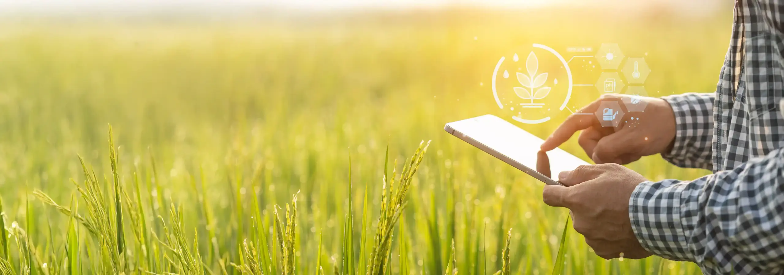
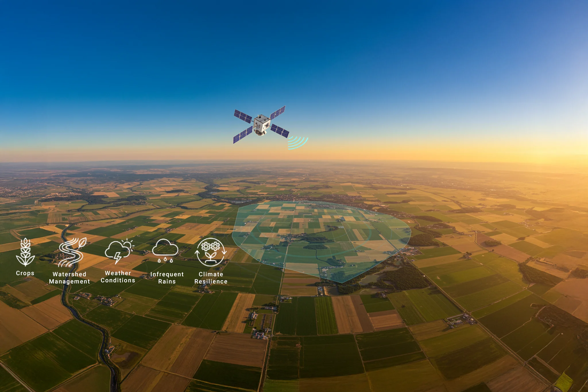
Enabling data-driven decisions with Cropin's Plot-level Intelligence

|

Share this:

The agriculture industry is in the digital transformation process, which has the potential to revolutionize the industry. With the help of advanced data analytics, farmers can gain valuable insights that can help increase crop quality and yield, reduce input costs, optimize fertilizer use, and ultimately enhance profitability.

Agriculture data systems and intelligence platforms are valuable tools for achieving operational optimization. Greater knowledge of their farm allows farmers to strengthen relationships and competitiveness in the broader agriculture value chain.

Why Agriculture Intelligence?

In addition to improving productivity and profitability, agriculture intelligence can also play a crucial role in addressing some of the industry's most pressing challenges today, including food and water security, environmental sustainability, and climate change adaptation. With the help of satellite remote sensing technologies, farmers can monitor crop conditions and make timely decisions that promote sustainable and regenerative farming practices.

Monitoring crop conditions at different stages with their attributes in terms of spatial, temporal, and qualitative inferences has a significant bearing on sound planning, effective decision-making, and efficient farm management, in addition to creating sustainable symbiotic relationships within a greater agri value chain for effective participation.

Technology can bring transparency to the entire value chain. Digitalization and AI and ML technologies can be significant enablers in this effort, providing farmers with remote access to advice, inputs, and markets and accelerating the adoption of proven, cost-effective strategies for improving long-term farm production and livelihoods. As per a study by Mordor Intelligence, the Artificial Intelligence (AI) Market in Agriculture was valued at USD 766.41 million in 2020 and is expected to reach USD 2468.02 million by 2026, at a CAGR of 21.52% over the forecast period 2021 - 2026.

Introducing Cropin's Plot-level Intelligence

Cropin Plot Intelligence is an integral part of Cropin's AI-powered crop and farm intelligence solutions that uses deep learning techniques to provide risk mitigation and forecasting intelligence based on historical data, satellite imagery, weather insights, and data captured from the field. 

The solution works at a micro level, providing analysis and insights on plot level crop health, yield, irrigation, and harvest window advisory, which helps work out tailored solutions for (and curated engagements with) farmers and key stakeholders across a region, state, country, or even globally. 

The main objectives that a satellite image-based earth observation platform can help achieve include the following: 

  • Identify crop-wise growing areas using remote sensing capabilities, and identify the major crop-growing regions in a room, with fortnightly reports for near real-time analysis.
  • Crop health monitoring throughout the season from a centralized location.
  • Strategize procurement through localized harvest forecasts and crop-wise harvest schedules for better planning of logistics, warehousing, packaging, and other downstream operations.
  • Digitize farmer engagements by providing insights to farmers on relevant real-time changing trends to help them hedge their risks better.
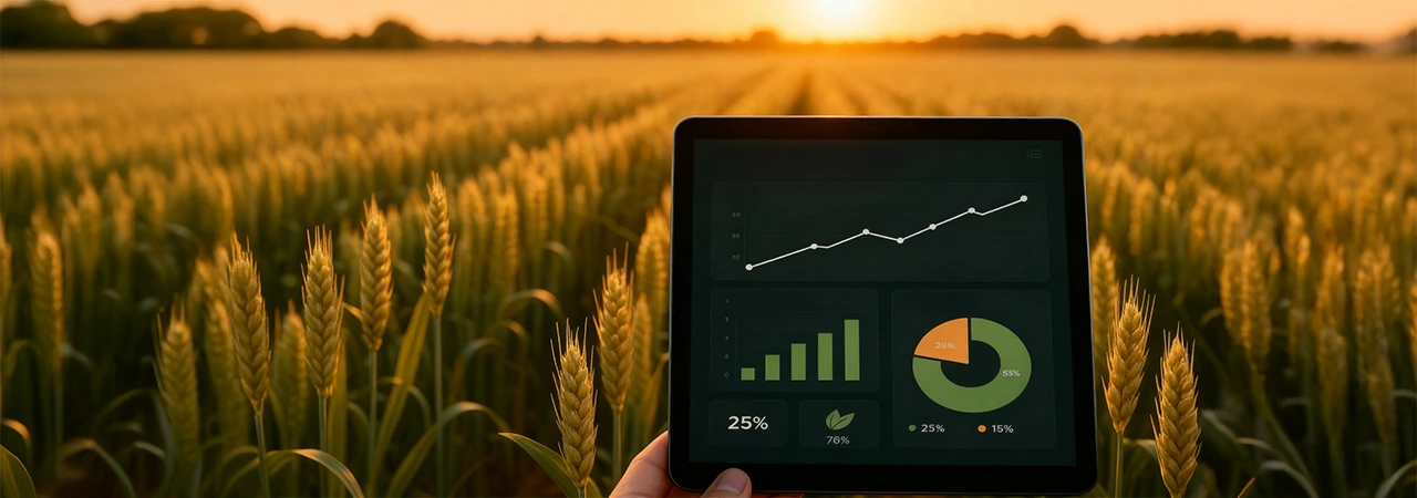
All these benefits of Plot-level Intelligence enable farmers to make better decisions, improve agronomic performance, manage inputs, optimize resource use, predict market conditions, lower carbon footprints, enhance sustainable development practices, plan for processing, and mitigate risks to improve yield quantity & predictability. 

Plot Intelligence platform can provide insights to help track, trace, and deliver a digital asset to open up opportunities for other (Inputs, Finance, Institutional Buyers) value chains to participate. Data is the cornerstone for research, analytics, and building predictive solutions to make future-ready climate-resilient smart farming a reality.

Key Components of the Cropin Plot Intelligence Solution


Analytical Insights

Actionable Advisory

  • Arable land available for agriculture

  • Agri-worthiness reports for individual plots & the individuals that farm on those plots

  • Ideal crops that can be grown on that land (based on factors like water required and soil quality)

  • Crops being grown in an area, independent of manual surveys or other lengthy information-gathering exercises

  • The potential yield for different crops across a whole region or select plots

  • Factors that could affect that yield, such as pests & disease, inclement weather, and indirect influences like availability & access to agri-inputs or managed services like packaging, storage, or logistics

  • Plant health & other factors that are indicative of a crop's potential quantity and quality.

  • Operational advisories such as ideal windows for sowing and harvesting

  • The granular inputs needed for factors pertinent to precision agriculture, smart farming, and Climate-Smart as well as climate-resilient agriculture, such as

    • Pests & Plant Disease advisory

    • Irrigation advisory

    • Agri-input advisory

    • Weather advisory

Various AI models under the Plot-level Intelligence Module:

Crop Stage Detection:

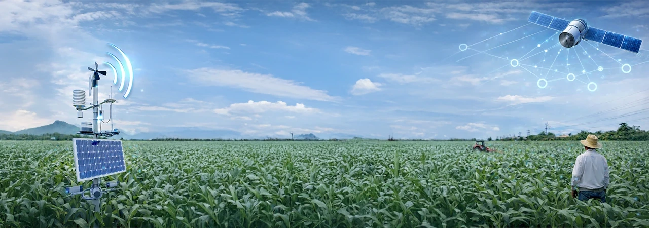
Precision agriculture has revolutionized the farming industry by increasing productivity and efficiency in producing high-quality and high-quantity food to feed the world's population. In today's digital era, the abundance of high-resolution satellite imaging data provides opportunities for growers and farming companies to leverage reliable, near-real-time information on crop growth and achieve proactive decision-making.

The Cropin Plot Intelligence Crop Stage Detection model utilizes an NDVI-based mathematical approach to monitor crop development. The model uses derivatives from a time series of high-temporal resolution satellite images to identify inflection points corresponding to the crop stage and benchmark their growth conditions against normal conditions. These timely insights enhance productivity and ensure transparent and smarter production.

This weather-based model predicts the current stage of the crop based on the BBCH - Stage Classification and how much percentage of the crop has progressed from sowing based on heat units. This also gives the Crop Growing Degree Days, the number of degree days accumulated from the sowing date. These insights enable the user to identify the cause of harvest deviation and plan other activities like procurement based on this insight.

The key metrics provided are:

Crop Stage: What stage is a crop currently in, based on the BBCH - Stage Classification?

Crop Progression: How close a crop is to the ideal window for harvest

Crop Growing Degree Days: Growing degree days help growers and researchers track the development of plants and the occurrence of pests or diseases.

Crop Health Monitoring:

Crop monitoring metrics are critical in determining the crop's health within the plot. Three essential proxies define crop health:

Canopy Greenness: Derived from the raw index Normalized Difference Vegetation Index (NDVI), which calculates vegetation health.

Canopy Nitrogen Uptake: Derived from the raw index Normalized Difference RedEdge Index (NDRE), a measure of crop vigor.

Canopy Water Stress: Derived from the raw Land Surface Water Index (LSWI), which measures the total amount of liquid water in vegetation and the soil supporting it.

Crop Yield Estimation: 

Geospatial data and remote sensing technologies are the most effective techniques available for crop yield estimation, providing necessary information on a global scale almost in real-time. Determining the crop yield facilitates better planning for food security across a zip code, district, or even the whole country. Therefore, obtaining yield estimates with reasonable accuracy before harvest is critical to carry out timely interventions when low yields are predicted.

The yield estimation process combines weather data and remote sensing information to estimate major crop stages during the crop cycle. Analytical models are tuned for different regions using neural network algorithms, remote sensing data, and processes that involve high-resolution satellite data, crop simulation models, advanced AI and ML techniques, remote sensing, weather forecasts, advanced statistics, data analytics, and applied agronomy knowledge. Yield estimation accurately estimates the yield per hectare of the plot, and this also gives the expected production range of the plot.

The system provides essential information:

  • Yield per hectare of the plot.

  • Expected production range of the plot.

  • Insights on harvest timing, crop health, and other related factors.

Disease Earning Warning System (DEWS):

Crop diseases have significantly contributed to the loss of agricultural productivity, with estimates suggesting they account for at least 40% of production losses. Early detection and mitigation are crucial to ensuring high crop yields. The good news is that technology-led early warning systems (EWS) for plant diseases are now available, thanks to rapid advancements in satellite-based earth observation and the increasing penetration of smartphones worldwide.

The Disease Earning Warning System (DEWS), a weather-based disease forecast model, predicts the probability of disease occurrence by analyzing past and forecasted weather parameters, such as temperature and humidity. DEWS improves its predictions continuously by learning from the current and historical predictions with actual ground conditions.

Irrigation Advisory:

Traditional irrigation practices often consume excessive water and energy, significantly wasting resources. However, technology-led developments in agricultural irrigation are now enabling farmers and farming companies to improve crop yields and optimize water use.

Cropin Plot Intelligence is a leading provider of actionable insights that help improve the precision of irrigation scheduling. It considers satellite-based data for soil moisture, historical and forecasted weather information, evapotranspiration, and soil conditions to indicate a crop's water demand. Soil moisture content derived using capacitive soil moisture sensors can be used to deliver more near-real-time insights, significantly when cloud cover can affect the availability of satellite data.

The irrigation advisory provided is an essential tool for farmers, providing critical information such as current daily water use, soil water deficit, precipitation data, actual irrigation volumes, and how much water is required for irrigation in the next seven-day forecast window. This information enables farmers to schedule irrigation efficiently, reducing water waste due to over-irrigation and ensuring crops are not under water stress.

Key Advantages of the Irrigation Advisory model:

  • Reduces water waste due to over-irrigation

  • Helps prevent water stress in crops

  • Enables farmers to schedule irrigation efficiently and optimize water use

Cropin’s Plot-level Intelligence in action:

A leading food processor partnered with Cropin to implement Plot-level Intelligence to manage their potato crop value chain and receive insights on yield, crop health, and irrigation-related alerts across multiple farms and regions in Asia. Plot-level Intelligence provides granular and actionable insights at a plot level to help improve farm operations & profitability. Download the case study to know more.

Trillions of data sets powering predictive intelligence at a farm pixel level REQUEST A DEMO
World’s first ag-tech  resource library GET ACCESS
Introducing world's first  intelligent agriculture cloud KNOW MORE

Know more about Cropin Cloud - the world's first intelligent agriculture cloud platform

Cropin Apps

Applications for
digitization

Cropin Apps is an integrated portfolio of highly customizable apps and solutions that capture and digitise agri-data from the farm to the warehouse to the fork. These applications are designed to scale digital transformation across agriculture and allied industries including forestry, commodity, banking and insurance.

DataHub

ML-ready data pipelines for enhanced analytics

Cropin Data Hub is designed to deliver the power of unified data by enabling interfacing with all agri-data sources from on-the-field farm management apps, IoT devices, mechanization data from farming resources, drones in agriculture, remote sensing satellite information, weather data, and many more.                                                      

cropin-intelligence-logo

Access to field-tested machine learning models

Cropin Intelligence enables access to over 22 of Cropin’s contextual deep-learning AI models to help agri-businesses with insights and predictive intelligence. Built using the world's largest crop knowledge graph, these models have been field-tested and deployed worldwide while being fine-tuned to work with a range of specific crop varieties, conditions, and locations.