Uncovering the grain of truth: Remote sensing to drive pest control in rice farming

|

Share this:

Partnering with like-minded entities to build damage-resilient crops

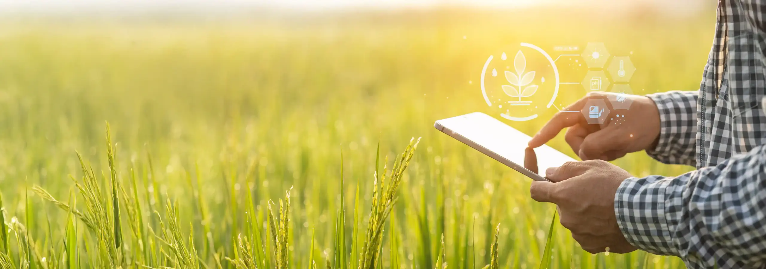
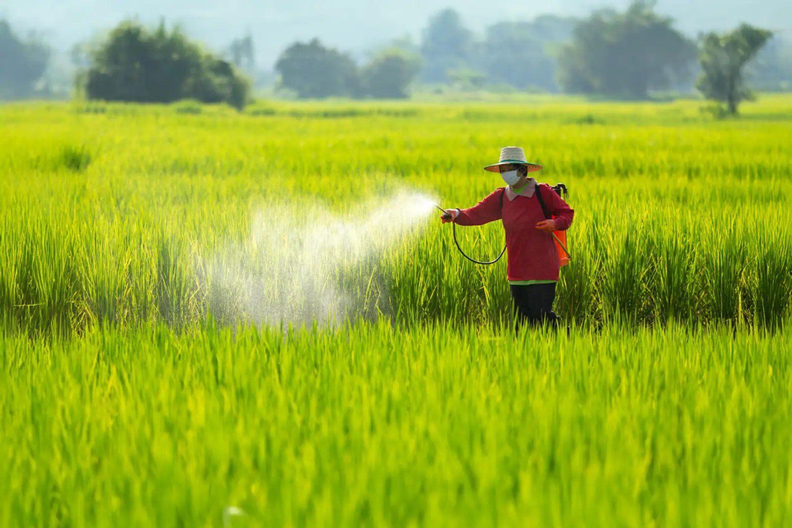
Space4Good, in collaboration with Cropin, is working on ‘CropLens’, a prototype early warning model for pests and diseases in a transplanted rice paddy that utilizes in-situ field observations, satellite data, and meteorological data together with AI. Bringing diverse experiences and skillsets to the table, the CropLens project has won the European funding via the Globalstars India funding mechanism as well as earned a EUREKA label supported by the Netherlands Enterprise Agency (RVO).  


Addressing challenges in rice farming using  geospatial data analytics and Artificial Intelligence (AI)  

artificial-intelligence

The CropLens pilot study: Reinventing–and restoring–the rice agroecosystem with space technology at its core  

For the prototype pilot, the crop data is being collected from seven districts (West Godavari, East Godavari, Nellore, Guntur, Krishna, Prakasam, and Chittoor) in the State of Andhra Pradesh, India, with a sample size of 500 farmers in each season (Kharif and Rabi). Farmers are selected using a random sampling method.  

Screenshot 2022-06-27 at 6.13.53 PM

Screenshot 2022-06-27 at 6.13.12 PM

Screenshot 2022-06-27 at 6.14.28 PM

Screenshot 2022-06-27 at 6.14.58 PM

Screenshot 2022-06-27 at 6.15.23 PM


Understanding how the tech works at the ground level (and the space level)  

tech-works


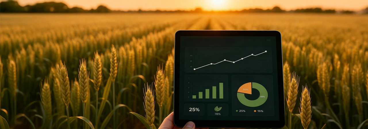
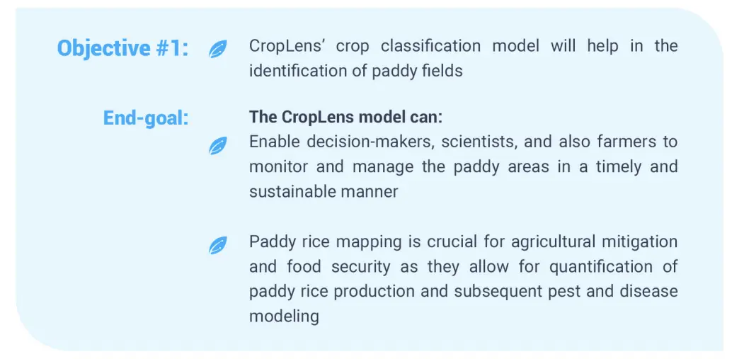
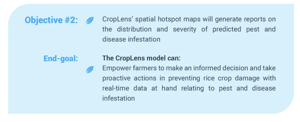
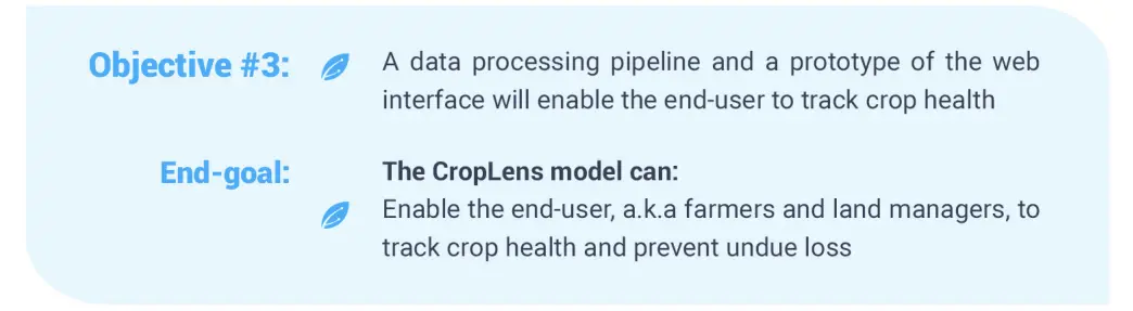
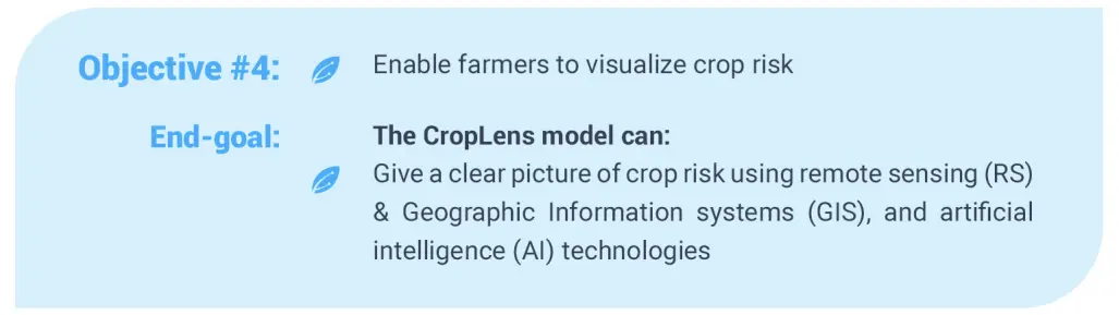
The expected outcomes of using space-tech for productive smart rice farming using CropLens:  

Screenshot 2022-06-27 at 5.57.08 PM
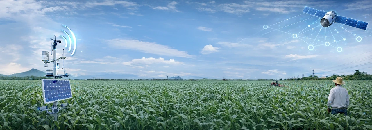
The 360-degree proposed benefits of satellite data for one of the biggest commodities in the world, rice  

Screenshot 2022-06-27 at 6.01.21 PM

The road ahead: Strengthening–and advancing–smart farming with tech-powered data and insights  

CropLens will be scaled to multiple crop types and agricultural landscapes as the momentum grows and the training potential increases. Furthermore, there is immense potential for institutions and stakeholders (like insurance companies) to contribute to improved risk management—an integral component that is lacking within the scope of this project.  

The inclusion of these entities will help with improved dissemination of the pest and disease risk estimates and advisories with the early adopters such as farmers, supply chain managers, governmental entities, and the entire ecosystem at large.  


About Space4Good: An impact maker leveraging space technology   

Space4Good is an innovative social enterprise utilising earth observation technology for social and environmental good. Combining remote sensing, geographic information systems, and artificial intelligence, we map, analyse and model complex ecosystems and support leading organisations and institutions on topics such as environmental crime detection, regenerative agriculture, tropical agroforestry management, humanitarian aid, and air pollution, and sustainable urban development. By doing so we help impact makers on the ground to make more informed decisions, improve operational efficiency, create data-driven transparency and unlock new revenue sources such as carbon credits. We are a growing team of impact-driven astropreneurs pushing the boundaries of geospatial innovation together with amazing partner multinationals, NGOs, universities, and like-minded social startups like The World Bank, Rabobank, Arsari Enviro Industri, Amnesty International, Red Cross, and Ecosia. 

Space4Good, is a certified Benefit Corporation (B.Corp) and social enterprise. 


Trillions of data sets powering predictive intelligence at a farm pixel level REQUEST A DEMO
World’s first ag-tech  resource library GET ACCESS
Introducing world's first  intelligent agriculture cloud KNOW MORE

Know more about Cropin Cloud - the world's first intelligent agriculture cloud platform

Cropin Apps

Applications for
digitization

Cropin Apps is an integrated portfolio of highly customizable apps and solutions that capture and digitise agri-data from the farm to the warehouse to the fork. These applications are designed to scale digital transformation across agriculture and allied industries including forestry, commodity, banking and insurance.

DataHub

ML-ready data pipelines for enhanced analytics

Cropin Data Hub is designed to deliver the power of unified data by enabling interfacing with all agri-data sources from on-the-field farm management apps, IoT devices, mechanization data from farming resources, drones in agriculture, remote sensing satellite information, weather data, and many more.                                                      

cropin-intelligence-logo

Access to field-tested machine learning models

Cropin Intelligence enables access to over 22 of Cropin’s contextual deep-learning AI models to help agri-businesses with insights and predictive intelligence. Built using the world's largest crop knowledge graph, these models have been field-tested and deployed worldwide while being fine-tuned to work with a range of specific crop varieties, conditions, and locations.

Rajesh Jalan

About the Author

Rajesh Jalan is the Chief Technology Officer and Head of Engineering at Cropin, the Agritech pioneer who has built the world's first purpose-built industry cloud for Agriculture - Cropin Cloud. He has over 25 years of experience building and leading software products and services engineering teams that are globally scaled, always available, and trusted. An inventor and innovator at heart, over the course of his career, Rajesh has been awarded 10 patents in various areas including code analysis, code optimization, and operating systems. At Cropin, Rajesh oversees the continued evolution of the company’s suite of SaaS-based Agri solutions and building the world’s first Intelligent Agriculture Cloud platform.