Climate change is the biggest threat facing Earth today! Our planet, home to a growing population of over 7.8 billion people and countless species of flora and fauna, has changed significantly over the last few decades. These widespread environmental changes have prompted governments and public bodies to increase investment in nature conservation in an attempt to arrest and possibly reverse the effects of rampant climate change. Research indicates that around USD 50 billion[1] flows into Nature Conservation projects every year. It is believed that the Fourth Industrial Revolution[2] contributed to a major part of the instability associated with climate change. There is thus, now, a growing call for organisations to balance between profit and societal impact.
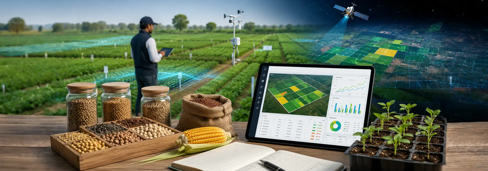
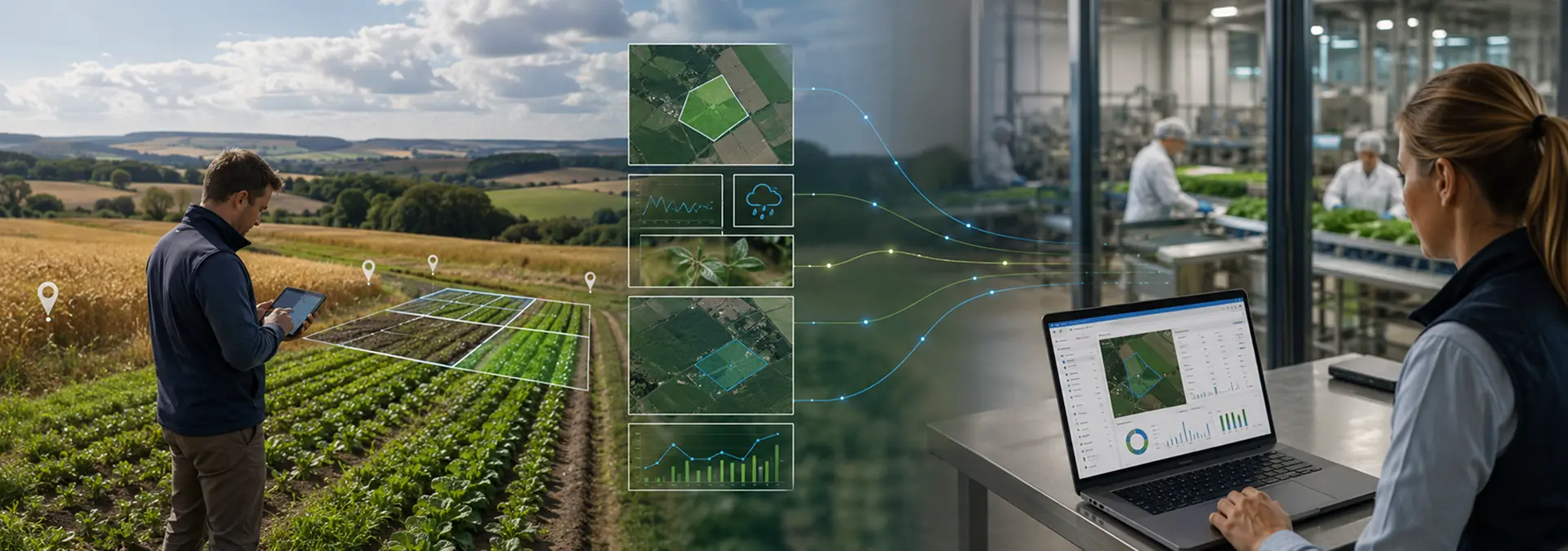
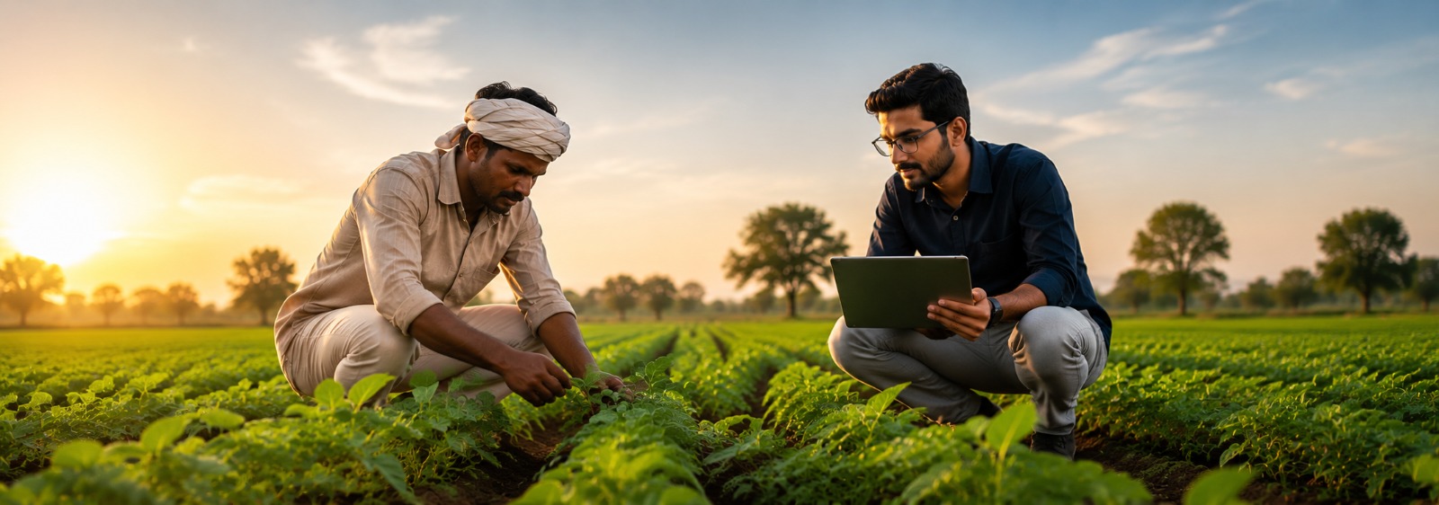
Remote sensing involves understanding changes in broad landmasses through the detection and monitoring of the physical or chemical characteristics of an area by measuring from a distance the radiation reflected or emitted by the examined area. It is now used by governments and environmentalists across the globe to get an accurate understanding of the earth while making policy decisions, especially from the perspective of the ongoing discussions around climate change. While the applications of these are relevant to several industries, nowhere has it generated the kind of impact as it has in the field of sustainable agriculture and forestry. How we produce our food has a big impact on Earth’s resources! By augmenting this data with ground sensors, it can help our farmers to better plan their sowing, management, harvesting, and selling their produce.
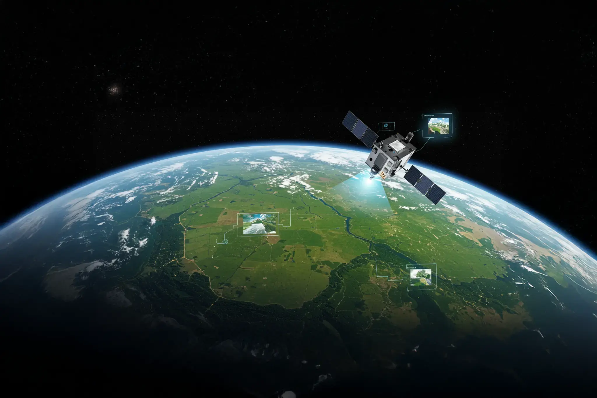
There are a plethora of satellite images available in the past decade that are at various levels of spatial and temporal resolution. However, in the year 2017, the private Earth Imaging company, Planet Labs, deployed a flock of satellites on an Indian Space Research Organisation (ISRO) rocket. They help scan the Earth daily, at high spatial resolution of 3-5m with wider geographical coverage. We also recently started our partnership with Planet Labs for piloting their data for some such impactful applications.
Remote sensing and conservation
Presently, the biggest impact is in the area of conservation. Satellite data has proven beneficial in watershed management and is used in India for basins of Krishna, Yamuna, and Tapi river. A national-level project, Integrated Mission for Sustainable Development (IMSD), undertaken by the Department of Space, covered an area of about 84 million hectares spread over 175 districts in India[3]. In selected watersheds under the project, the implementation of rainwater harvesting demonstrated a number of benefits, one among them being the increase in the agricultural development of once-barren regions in the area.
Recommendation for a multi-disciplinary approach to conservation
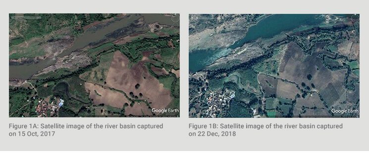
CropIn has combined satellite imagery with machine learning (ML) algorithms in order to strategize and implement a large-scale river conservation project in Central India. River conservation projects are of paramount importance in agriculture-based economies like India, where farmers are moving away from their dependence on uncertain weather conditions and infrequent rains. Rivers are the lifeline for these farmers and are a primary source of water for irrigation! However, river conservation projects have to be well planned and timed. These can also become increasingly expensive. There was felt a need to develop a system that can monitor activity along the river basin, encourage farmers to continue adopting sustainable practices, and give confidence to policymakers to continue efforts.
Measuring real impact and directing change
There are several indices and derivatives that can be obtained from the optical imagery other than the popular NDVI (Normalized difference vegetation index) for vegetation health. CropIn used derived features from the satellite data, ground sensor data, weather data, and custom-built an ML model on top of these to continually monitor over time and analyze the tree density change over the four years along the river basin over the 15 districts.
Reach out to us to find out more about how CropIn is using technology to help governments and development agencies fight climate change with smarter and more sustainable agriculture.
Watch this video to learn about Land Use Analysis powered by SmartRisk®
References
[3] Disaster Management. Geospatial World, 2010