Crop intelligence
Maize acreage and yield, estimated plot to region.
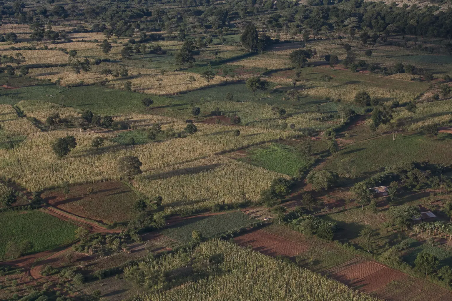
Drought, heat and pests swing maize yields from season to season. Cropin estimates acreage at plot and regional level and tracks crop stage and health on more than 2.5 million digitized acres.
What Cropin tracks
Acreage, crop stage and harvest windows.
Connect plot observations, Earth observation, weather and crop-specific models to production, sourcing and risk workflows.
Maize is the world’s most produced cereal, at over a billion tonnes a year.
From sweet corn for human consumption to dent corn for livestock feed and industrial products, maize is incredibly versatile, with thousands of varieties adapted to diverse climates and uses.
Maize is the most produced cereal crop in the world in terms of total annual production volume, which exceeds 1 billion tonnes yearly.
Corn crop stages, in order
- 1Seed and plantingHybrid · depth · soil
- 2EmergenceStand · vigor · weather
- 3Vegetative growthCanopy · nitrogen · water
- 4TasselingTiming · heat · pollen
- 5Silking and pollinationStress · kernel set
- 6Kernel developmentFill · moisture · health
- 7Physiological maturityDry-down · quality
- 8Harvest readinessMoisture · yield · logistics
Drought, heat and erratic rain hit maize yields hardest.
Maize cultivation is highly susceptible to climate change impacts, including drought, heat stress, and erratic rainfall, which severely affect yields. It also faces significant threats from pests & diseases.
- How programmes use Cropin on corn
- Remote monitoring of maize acreage in farms
- Estimate acreage at plot and regional level
- Seasonal planning of maize cultivation & inventory management
- AI/ML-based satellite imagery for management of delinquencies
- Crop models in use
- Crop yield, Crop stage, Crop progression, Harvest window estimation, Crop health indicators, Irrigation advisories
- On disease and pest early warning
- Alternaria leaf blight, Leaf rust, Anthracnose, Bacterial leaf spot rust
One agri-input company has monitored its maize programme by satellite for 3+ years.
- High-frequency satellite imagery with AI and ML models
- Better management of delinquencies for farmers
- 3+ yearsOf stable maize cultivation on the programme
- 4Districts with successful maize cultivation
2,516,446acres of corn digitized on Cropin across all programmes
Deployed in 65 countries
India, Indonesia, Myanmar, Philippines, Pakistan, Bangladesh, Sri Lanka, Vietnam, China, Belgium, France, Italy, Netherlands, Portugal, Switzerland, United Kingdom, Canada, USA, Argentina, Mexico, Brazil, Angola, Egypt, Kenya, South-Africa, Nigeria, Tanzania, Australia, Mali, Japan, Thailand, UAE, Turkey, Russia, Tajikistan, Albania, Georgia, Andorra, Austria, Germany, Greece, Hungary, Poland, Romania, Serbia, Spain, Ukraine, Azerbaijan, Anguilla, Aruba, Bahamas, Chile, American Samoa, Algeria, Botswana, Burkina Faso, Ethiopia, Ghana, Mozambique, Rwanda, Togo, Uganda, Zambia, Zimbabwe, Antarctica
Frequently asked questions
How does Cropin use satellite imagery to monitor maize farms, and what can it detect remotely?
Cropin uses AI-powered satellite imagery and geospatial analytics to monitor maize farms remotely. The system analyzes vegetation indices and crop intelligence signals to track crop stage progression, canopy health, crop vigor, and field variability. This allows stakeholders to detect early signs of crop stress, uneven growth, and potential disease risks without requiring physical field inspections.
How does Cropin's platform address the specific climate threats facing maize, like drought, heat stress, and erratic rainfall?
Cropin’s AI models integrate weather data, satellite data, and predictive analytics to monitor environmental conditions that affect maize crops. By analyzing temperature trends, rainfall patterns, and moisture indicators, the system can identify early signs of drought stress, heat stress, or the risk of excessive rainfall. These insights enable farmers and agribusinesses to adjust irrigation, crop protection, and farm operations to minimize climate-related crop losses. Cropin’s granular insights support development agencies, policymakers, and governments in Holistic Policy Formulation, Budget & Resource Allocation, and Partnerships.
What diseases does Cropin's Disease Early Warning System (DEWS) detect in maize crops?
Cropin’s Disease Early Warning System (DEWS) model overlays weather data, historical data, and crop conditions to identify risks for several maize diseases, including: Alternaria leaf blight, Leaf rust, Anthracnose, and Bacterial leaf spot. By predicting the probability of disease risk before visible symptoms spread, the system helps farmers take timely crop protection measures.
What is the scale of Cropin's maize intelligence deployments globally?
Cropin has deployed its maize crop intelligence solutions across multiple major maize-producing regions worldwide, supporting agribusinesses, processors, and food companies with farm monitoring and predictive insights. These deployments cover thousands of farms and large cultivation areas, enabling data-driven management of maize supply chains across continents.
How does Cropin estimate the optimal harvest window for maize, and what variables influence that window?
Cropin estimates the optimal harvest window by analyzing satellite imagery, proprietary crop knowledge grid, crop growth models, and weather forecasts. The system evaluates factors such as crop maturity stage, moisture levels, temperature trends, and expected weather conditions. By combining these variables, the platform predicts the most suitable time for harvest to maximize grain quality and minimize post-harvest losses.
How are advanced yield estimates utilized in the corn value chain?
Advanced yield estimates generated by Cropin’s predictive models provide early visibility into expected maize production. Agribusinesses and processors use these insights to plan procurement strategies, manage storage capacity, optimize logistics, and forecast supply for downstream operations such as feed production, food processing, and biofuel manufacturing.
How does Cropin assist corn farmers in the EU and Latin America with weather volatility?
Yes. Cropin analyzes climate patterns, soil conditions, and historical crop data to identify regions suitable for potato cultivation. In real-world deployments, the platform has helped organizations discover high-potential growing areas and expand cultivation zones to secure a consistent potato supply.
Does Cropin support sustainability monitoring for corn farmers?
Yes. By tracking regenerative practices like “No-Till” farming and cover cropping, Cropin provides the data foundation needed to quantify carbon sequestration. This enables corn farmers to participate in carbon credit programs and helps CPG companies meet their “Net Zero” commitments.
Other crops on the platform
Corn runs on the same platform as 400+ other crops: field records, satellite observation, weather and crop models, read together through the Crop Knowledge Grid.