
Crop intelligence
Wheat acreage and yield, mapped from satellite data.
Drought and heat at heading and flowering cost wheat its yield. For flour millers in Nigeria, Cropin mapped wheat across 13 states and predicted yield with 85% accuracy.
What Cropin tracks
Rust, heat stress and regional supply.
Connect plot observations, Earth observation, weather and crop-specific models to production, sourcing and risk workflows.
Wheat provides nearly 20% of the calories consumed worldwide.
Wheat is one of the oldest cultivated crops, dating back to 9600 BC. It is highly adaptable and can be grown in diverse climates.
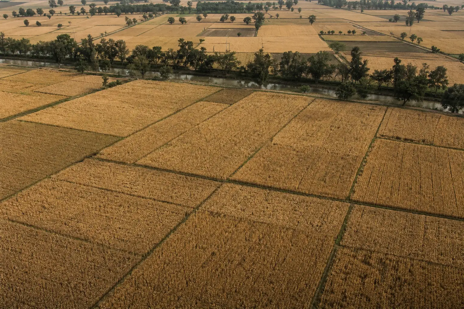
Wheat is the second most produced cereal crop globally by volume (after maize) and has maximum acreage among food crops. It is a critical commodity in international commerce and accounts for nearly 20% of the total calories consumed worldwide. World trade in wheat is greater than that of all other crops combined.
Wheat crop stages, in order
- 1SowingVariety · soil · timing
- 2Germination and emergenceStand · vigor · moisture
- 3TilleringCanopy · nitrogen · density
- 4Stem elongationGrowth · lodging · stress
- 5BootingWater · temperature · disease
- 6Heading and floweringHeat · pollination · health
- 7Grain fillingWeight · protein · moisture
- 8Maturity and harvestWindow · quality · yield
Rusts, blights and depleted soils add to the heat risk in wheat.
Wheat is highly sensitive to abiotic stresses, particularly drought and extreme heat, especially during critical growth stages like heading and flowering. Pests & diseases are a constant threat to wheat. Intensive wheat monoculture without proper crop rotation can lead to the depletion of soil nutrients and a reduction in organic matter.
- How programmes use Cropin on wheat
- Crop detection with deep intelligence & knowledge grid
- Acreage estimation at regional level
- Yield prediction computed from sowing to harvest
- Assess pixel wise granular data, as well regional data
- Crop models in use
- Crop yield, Crop stage, Crop progression, Harvest window estimation, Crop health indicators, Irrigation advisories
- On disease and pest early warning
- Bacterial blight, Scab, Leaf rust, Stem rust, Stripe rust, Yellow rust, Powdery mildew, Septoria
11,820 hectares of Nigerian wheat, analysed pixel by pixel.
- Pixel-wise analysis on a 10x10 grid to estimate total wheat area
- 11,820+Hectares analysed
- 85%Accuracy in yield prediction
- 13States classified as wheat or non-wheat using NDVI
466,654acres of wheat digitized on Cropin across all programmes
Deployed in 19 countries
Algeria, Angola, Ethiopia, Morocco, Nigeria, South Africa, Tunisia, India, Pakistan, Tajikistan, France, Germany, Netherlands, Switzerland, UK, Mexico, USA, Australia, Argentina
Frequently asked questions
What is Cropin’s wheat crop solution, and how does it help growers?
Cropin, a digital platform, offers a wheat crop solution that uses AI, remote sensing, and data analytics to monitor fields, predict yields, track crop health, and provide actionable insights. This helps growers improve productivity, manage risks, and optimize wheat cultivation efficiently.
Why is digital agriculture important for wheat production?
Digital agriculture enables wheat growers to make data-driven decisions, monitor large or dispersed farms, reduce losses from pests, diseases, or weather variability, improve crop quality, optimize yields, and enhance supply chain management, ensuring more reliable and profitable wheat production.
What major challenges in wheat cultivation does Cropin address?
Cropin addresses key challenges in wheat farming, including pest and disease outbreaks, unpredictable weather and climate variability, quality control issues, and inefficiencies in the supply chain, helping farmers, cooperatives, and enterprises maintain higher yields, consistent quality, and reliable production.
Who can benefit from Cropin’s wheat solutions?
Cropin’s wheat solutions benefit small and large-scale farmers, agribusinesses, cooperatives, traders, and processors. It provides real-time insights and helps improve crop management, enabling better planning, enhancing quality and yield, and streamlining supply chain operations for more profitable wheat cultivation.
How does "Cropin" assist in wheat procurement and "Surety of Supply"?
Cropin Cloud platform provides millers and food brands with a “Global Intelligence Layer.” By analyzing historical and real-time data, it predicts yield variations across different geographies. This allows procurement teams to identify “high-performing clusters” early in the season, ensuring they can meet their supply commitments despite local weather fluctuations.
How does Cropin help wheat farmers manage "Terminal Heat Stress"?
Wheat is highly sensitive to rising temperatures during the grain-filling stage. Cropin’s platform uses hyperlocal weather intelligence to alert farmers of impending heatwaves. This allows for “preventive irrigation” to cool the micro-climate around the crop, ensuring that sudden temperature spikes do not compromise grain weight and protein levels.
Other crops on the platform
Wheat runs on the same platform as 400+ other crops: field records, satellite observation, weather and crop models, read together through the Crop Knowledge Grid.