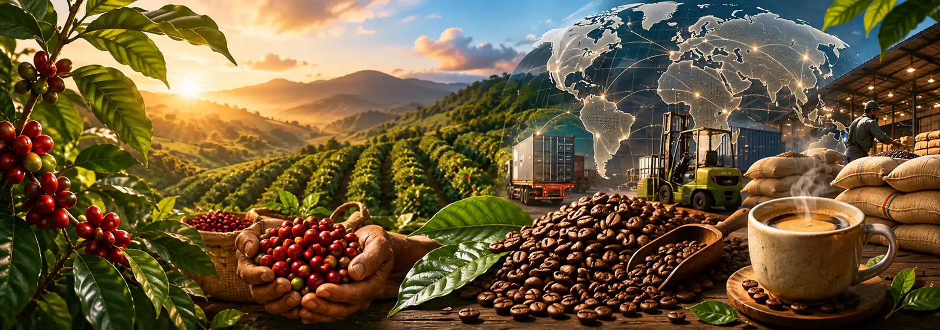
From being the “next big thing” to “the big thing today”, the use of IoT, connected devices, and automation systems in agriculture have come a long way in recent times. An IoT-based smart farming equipment system powers precision agriculture by enabling producers to monitor farmlands more closely, and in near-real-time, using robots, drones, and a range of sensors. It also incorporates advanced machine learning and analytical tools to provide actionable insights that enable the producers to optimize crop production, including crop planning using crop management software, soil management, plant propagation, and cultivation practices. Combining these systems and devices with satellite imaging technology provides large agribusinesses with the scope to monitor several hundreds of farmlands spread across one or more regions. Other data inputs from satellites, such as assessments of weather and environmental events, enable producers to adopt agricultural practices that are more climate-smart. Today, there are several Earth Observation enterprises that provide organizations like CropIn with relevant and up-to-date information, thus enabling them and other stakeholders in the agroecosystem to optimize crop production.
Proximity: the IoT advantage
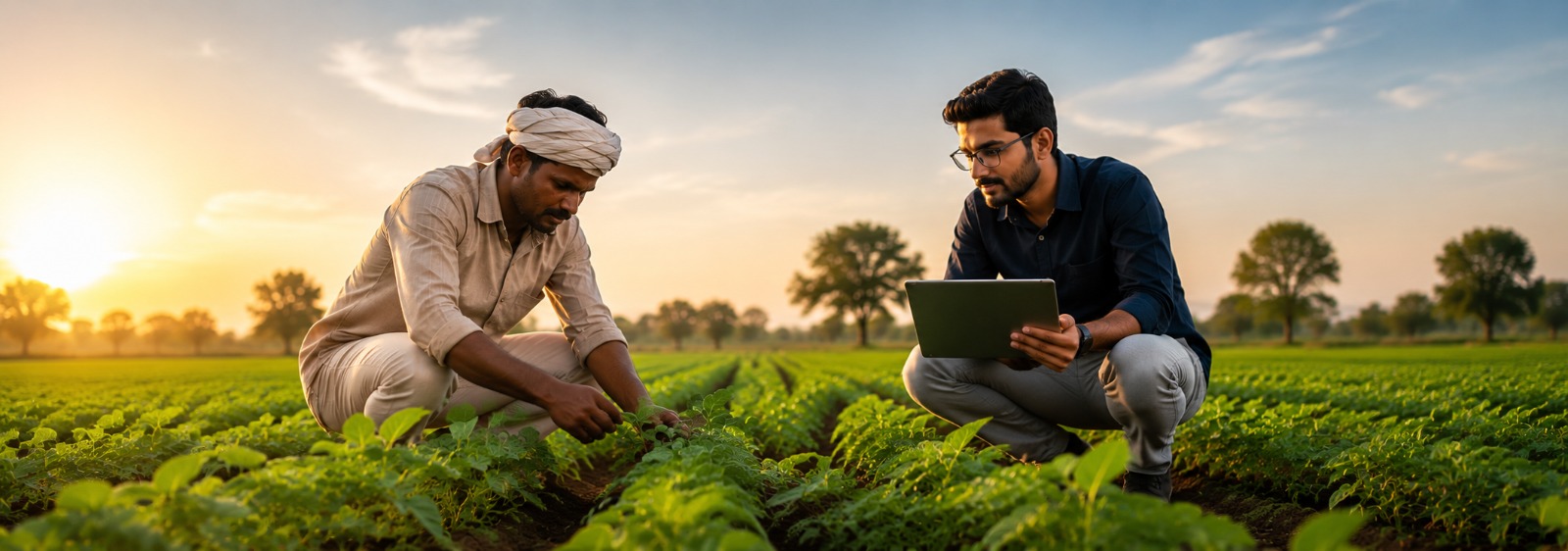
Precision agriculture devices have made farming highly efficient as compared to traditional methods. Producers are now able to keep track of any change in field conditions through sensors. For instance, automated alerts for a drop in soil moisture will prompt the farmer to initiate irrigation, thereby preventing crop damage. Unmanned aerial vehicles (UAVs), more commonly known as drones, are being used extensively today to capture aerial imagery of crops, weeds, and other assets on farmlands. The 3D mapping provided by these smart farming devices facilitates better soil and field analysis for better nutrient management. Drones in agriculture also provide a large-scale, bird’s eye view of the farm, which allows farmers the opportunity to monitor large tracts of land in shorter periods and determine plant health, optimize irrigation, and spot potential issues more easily. Further, field staff can operate the device, either directly or autonomously, to plant seeds and spray agrochemicals.
On the other hand, farm automation systems have emerged as a fitting solution to perform mundane tasks, especially when faced with a shortage of labor. Autonomous tractors, robotic harvesters, greenhouse automation, automatic irrigation systems, seeding robots, and animal automation systems are only some examples of these smart farming technologies that are ensuring efficiency in crop or livestock production cycles. These smart farming equipment reduce production costs and resource consumption by automating processes, starting from accurate planting and watering to crop protection and harvesting.
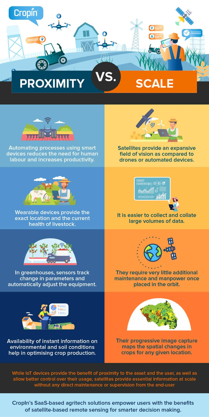
- 1. Automating processes using smart devices reduces the need for human labor and increases productivity
- 2. Wearable devices provide the exact location and the current health of livestock.
- 3. In greenhouses, sensors track changes in parameters and automatically adjust the equipment to provide the most appropriate condition
- 4. The availability of instant information on environmental and soil conditions helps in optimizing crop production.
The scalability factor
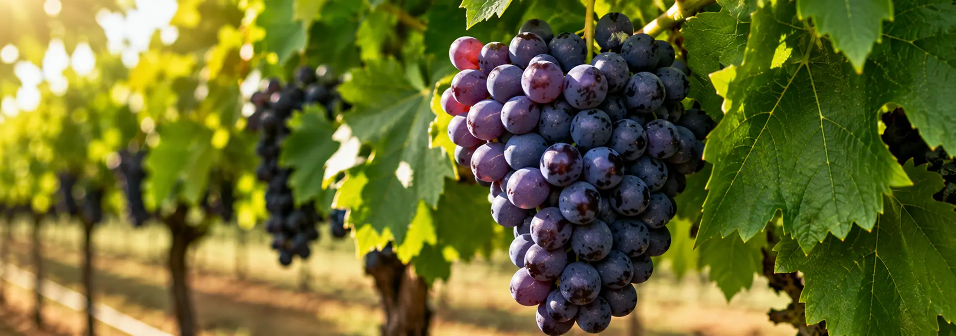
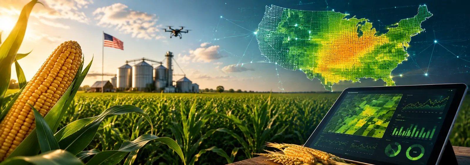
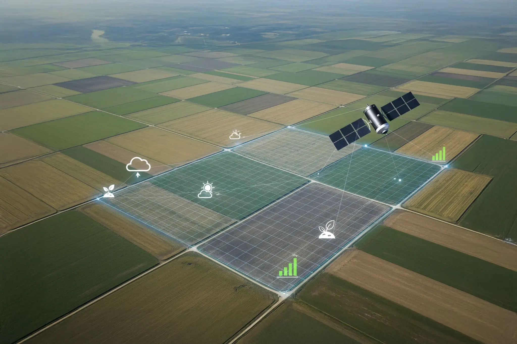
The increased launch of satellites with sophisticated sensors, like NASA’s Landsat series and ESA’s Sentinel series, opens the doors for the unprecedented availability of free, open-access data for widespread commercial use. The high spatial resolution images that these satellites now provide are perfectly suited for tracking the spatial and temporal distribution of crops, monitoring their growth and health, and estimating their yield ahead of harvest, in addition to remotely managing diseases and pest infestations, nutrient application, and irrigation schedules. Besides, there exists a voluminous collection of historical satellite images that can be accessed for free even today. These images make it possible for commercial and non-commercial organizations to go back in time and compare current and past data on land, vegetation, and water bodies, to strategize crop production and allied activities more efficiently.
Advantages of satellites
- 1. Satellites provide an expansive field of vision as compared to drones or automated devices.
- 2. It is easier to collect and collate large volumes of data
- 3. They require very little additional maintenance and manpower once placed in orbit.
- 4. Their progressive image capture maps the spatial changes in crops for any given location.
- 5. Satellites also provide an assessment of imminent weather conditions.
- 6. Satellite imagery is detailed and offers a more accurate picture of any area, highlighting crop type, crop health, water stress, problem areas, etc.
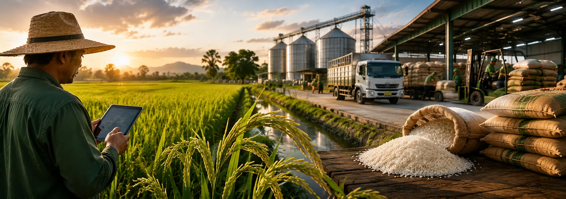
CropIn’s SaaS-based agritech solutions empower users with the benefits of satellite-based remote sensing for smarter decision-making. Users can leverage CropIn’s platform to detect crops and identify crop stages remotely, analyze crop health, obtain yield estimates, and view near-real-time insights throughout cultivation stages. CropIn also provides timely weather updates and alerts to ensure climate-smart agriculture that improves productivity and significantly reduces crop losses. In the past year, CropIn has also enabled agribusiness to keep up the productivity of the field staff, in spite of the preventive measures during the pandemic that restricted the daily workflow of several people.